Since March 2025, a drive between Hwy 59 and Orange Beach along Canal Road has taken a detour through the Gulf Pines neighborhood. On October 12, the Gulf Shores City Council took its first concrete step toward a permanent way around it. Paying for the road is a separate problem. The state funds a new road only when traffic justifies one. For now, the city's best chance of building the bypass is to get more cars onto the route.
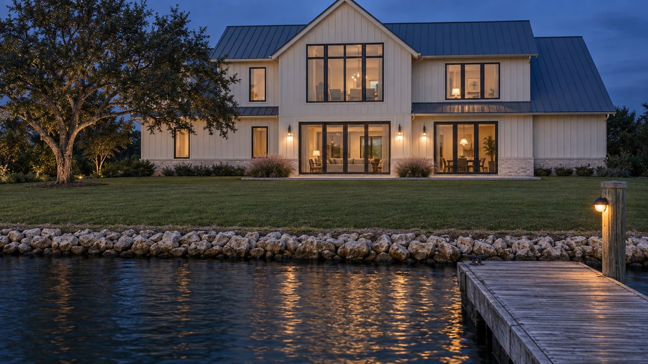
That matters to Waterways owners. The community sits on the mainland side of the Intracoastal Waterway. A 2020 city planning staff report placed it in the 800 block of Waterway West Boulevard, between the boulevard and the canal, with a gated entrance from Waterway West. Most trips east toward Orange Beach cross the ICW and then run the east-west corridor this project is meant to fix.
How a Construction Detour Became the Daily Route
Everything traces back to a single closed turn. To build the Waterway Village pedestrian bridge, the city and ALDOT closed the sharp 90-degree turn that connected Canal Road East to East Second Street near Tacky Jacks, according to Gulf Shores News. Gulf Coast Media reported that the closure was permanent and took effect March 10, 2025. Drivers were sent to East 3rd Street and East 22nd Avenue.
The pedestrian bridge exists because of the W.C. Holmes Bridge. The Hwy 59 crossing is getting a third southbound lane, and that lane takes over the bridge's walking and bicycle lane. As Gulf Coast Media described the current pattern, traffic from Orange Beach now stays on Canal Road to East 3rd Street, turns south past Meyer Park to East 22nd Avenue, and then heads west to East 2nd Street. The city has been planning a new road around the neighborhood since it won a $14.4 million federal BUILD grant in 2019 for the pedestrian bridge and plaza.
What the 2025 Counts Showed
The detour drew complaints almost right away. At an April 2025 meeting, one resident said drivers on East 22nd Avenue were going over the posted 25 mph limit. The city answered with more police presence, "Local Traffic Only" signs, traffic counters, and a traffic-calming study by Jacobs, as Gulf Coast Media reported.
The August 2025 Jacobs counts, reported by Gulf Coast Media, show how the traffic actually spread out. These are 2025 figures, and the report noted there was no baseline from before the detour to compare them with.
| Street, August 2025 counts | Vehicles per day | Average speed |
|---|---|---|
| East 2nd Street | 4,000 to 5,000 | 33.3 mph |
| East 3rd Street | 4,000 to 5,000 | 32.7 mph |
| East 22nd Avenue | about 500 | 33 mph |
| Other Gulf Pines streets | under 1,000 | 29.5 mph area-wide |
Most of the traffic stays on the outer edge of the neighborhood. A June 2025 study update, covered by Gulf Coast Media, found that more than 90% of neighborhood traffic used East 2nd and East 3rd Streets and did not cut deeper into Gulf Pines. According to the same August Gulf Coast Media report, the city added golf-cart access, a crosswalk improvement on East 5th Street, diagonal parking by Meyer Park, radar signs, and more patrols. Raised crossings and all-way stops were also under consideration.
The same June 2025 update included a regional number that turns out to matter. After the Foley Beach Express toll came off, average daily traffic fell about 17% on Hwy 59 and 18% on Canal Road. Over the same period it rose 58% on the Foley Beach Express. Canal Road was getting quieter while the city was asking for a new road to carry it.
The Rule That Decides When the Road Gets Built
The October 12 vote was real progress. Under Resolution 7193, the council approved an agreement with Sawgrass Consulting to survey about 360 acres and set a 140-foot right-of-way for a 1.5-mile road that would permanently move Canal Road, State Route 180, around residential streets, Gulf Shores News reported. The survey costs up to $39,500.
The survey secures the route, and building on it still needs construction money. Mayor Robert Craft told Gulf Coast Media that the city has no plans or money to build it yet, and that it is an expensive road. At the October 5 work session, Assistant City Administrator and Community Development Director Lee Jones explained how state money would arrive:
"Any state road, whether it has a signal or an intersection or widening, is all based on warrant. Once it's warranted, once the traffic demand warrants a new roadway to be built, then that's when the state will consider it."
In other words, a road built to take traffic out of Gulf Pines can't be funded until there is enough traffic to justify it. Canal Road volumes fell after the toll was removed, so the city's case gets weaker the more drivers move over to the Foley Beach Express.
Why the One-Way Bridge Is the Lever
This is where ALDOT's newest crossing comes in. The new Intracoastal Waterway bridge sits between the W.C. Holmes Bridge and the former Foley Beach Express toll bridge. ALDOT lists its cost at $52 million, plus a separate $30 million connector to SR-161. Its southbound lanes feed into eastbound SR-180, which is Canal Road. ALDOT announced on May 13, 2026 that the full traffic pattern was open. Two southbound lanes use the new bridge, and two northbound lanes use the former toll bridge.
City officials have long wanted that bridge to carry traffic both ways. Craft also sees two-way traffic as a route to funding. He believes it could add traffic through Gulf Pines and help reach the state's threshold, and he described the bridge this way to Gulf Coast Media:
"It will become an evacuation route or a daily get-off-the-island route in addition to 59. If that happens, it's going to get busier and busier, and that will give us the opportunity to work with the state to get this road built."
Gulf Shores News also describes a two-way bridge as a second hurricane evacuation route past Hwy 59 for Fort Morgan and the nearby coast. If ALDOT makes that change, it would give the island another way off besides Hwy 59. The extra traffic it brings onto Canal Road could also help make the case for the bypass.
Two Roads on Two Timelines
The plan has two stages. Each is a separate project with its own route.
| Midterm reroute | Permanent bypass | |
|---|---|---|
| Route | East 10th Street extended south from Canal Road to line up with East 20th Avenue, also called Dolphin Avenue | Leaves Canal Road east of the Gulf Shores Utilities wastewater treatment plant and meets East 2nd Street near East 20th Avenue |
| Status | Volkert has completed a 30% set of drawings; the state approved the midterm plan a few years ago | Right-of-way survey approved October 12 |
| Land | Mostly undeveloped ground, including land the city would need from Gulf State Park | No part runs through Gulf Pines |
| Next step | City plans to finish drawings once it reaches a roadway agreement with ALDOT's new director | Needs an ALDOT commitment |
The midterm road is designed to become part of the permanent one when that is built. Jones's forecast for designing and building the midterm reroute runs from 2027 through 2034. Gulf Shores News gives the window between the midterm and long-term phases as 2027 to 2035. Its report also says State Route 180 traffic would eventually use 10th Street and the new road at 20th Avenue. Once the new state highway is finished, ALDOT would hand old Canal Road between 10th Street and 4th Street back to the city for local traffic. Both windows are officials' estimates. Neither is a construction schedule.
The Dates That Move This Forward
The next steps depend on Montgomery about as much as on City Hall:
- November 3, 2026. Alabama elects a new governor, who is expected to appoint a new head of the transportation department. City officials have said they plan to bring the project back to ALDOT once the new administration is in place.
- Spring 2027. In its September 25 update, the city said the Waterway Village pedestrian bridge is on track to open then. The same update says design work on East 2nd Street and Gulf Pines improvements is underway and waiting on RESTORE Act funding approval.
- Whenever ALDOT acts on the new bridge. Converting it to two-way traffic is the change most likely to push Canal Road traffic toward the level that triggers state money for the bypass.
Until then, the drive east keeps the same pattern it has had since March 2025: Canal Road to East 3rd Street, past Meyer Park, onto East 22nd Avenue, and west to East 2nd Street.
Trying to work out how these road and bridge changes affect your trips to the island or a dock-to-dinner run to Orange Beach? The Scarbrough Team at Waterways of the Gulf Shore keeps up with the projects around Waterway West Boulevard and is glad to talk them through with you. Schedule a Consultation and we'll go over what's changing on the routes you use most.